Seven weeks after Hurricane Helene hit our community, we are still marveling at the enormous community support that made the rapid Swamp Rabbit Trail recovery effort possible. With so many in our community and our friends in Western North Carolina working to rebuild on what will be a long and arduous road to recovery, this successful trail recovery project provided some light and hope during a difficult time.
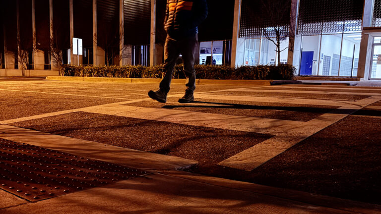
The week immediately following the storm was the National “Week Without Driving”, and for most of Greenville it was also the ‘Week Without Power’ and the ‘Week Without School’. With emergency crews asking for clear roadways and the significant dangers posed by hanging electric lines and non-functioning traffic lights, driving felt like the last thing many of us wanted to do, and yet unfortunately for most in Greenville, it is necessary to drive to get some essentials from the store, to commute to work, or to access recreation spaces.
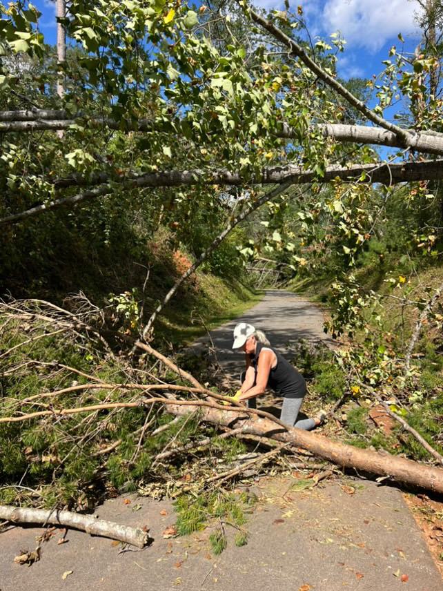
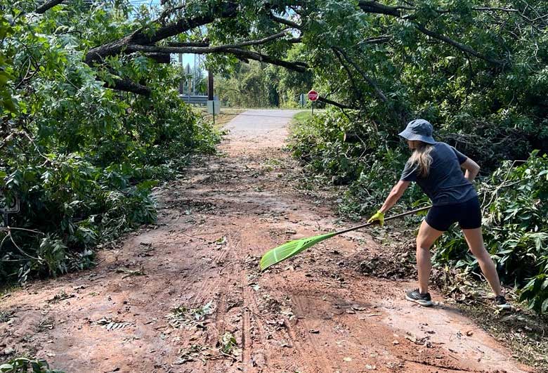
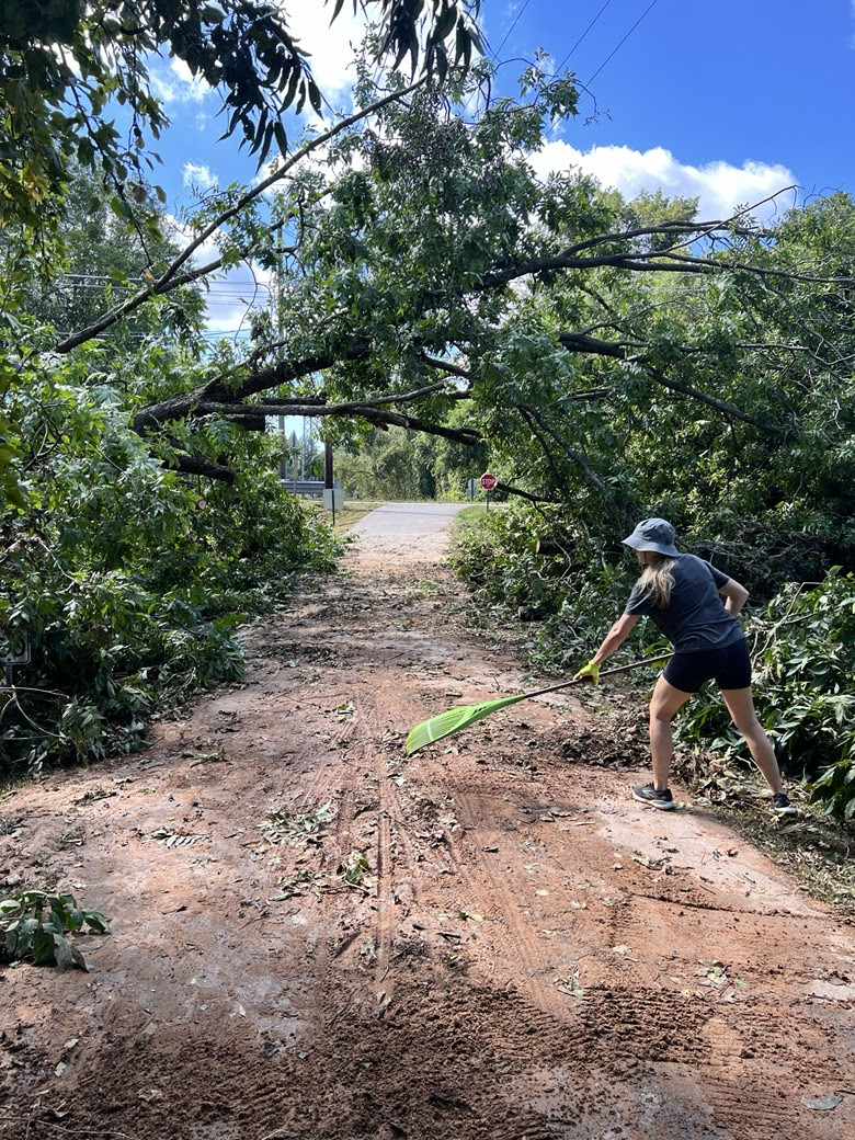
As the Reedy River calmed down and both wind and waters receded, the tree fall on the Swamp Rabbit Trail left a sobering amount of work to be done. Some estimates calculated that approximately 10-20 trees had fallen on each mile of trail! Many commuters, businesses and families that rely on the trail for their daily activities told us that they expected it to be months of work before the trail could be reopened, due to the extensive amount of work that lay ahead.
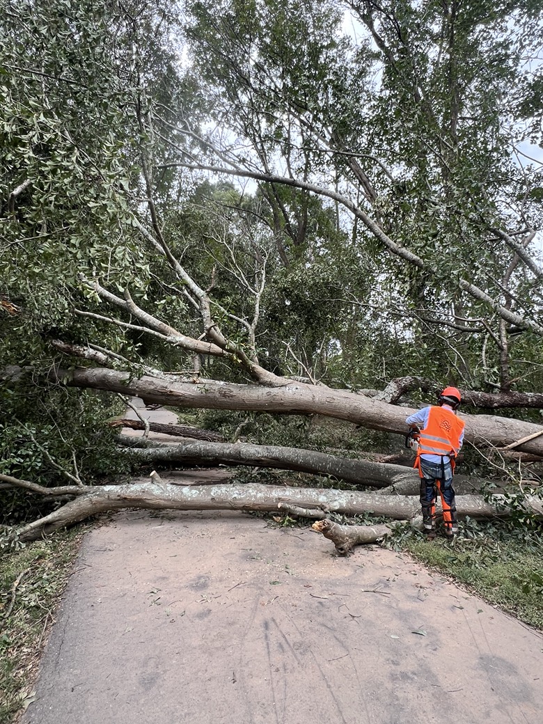
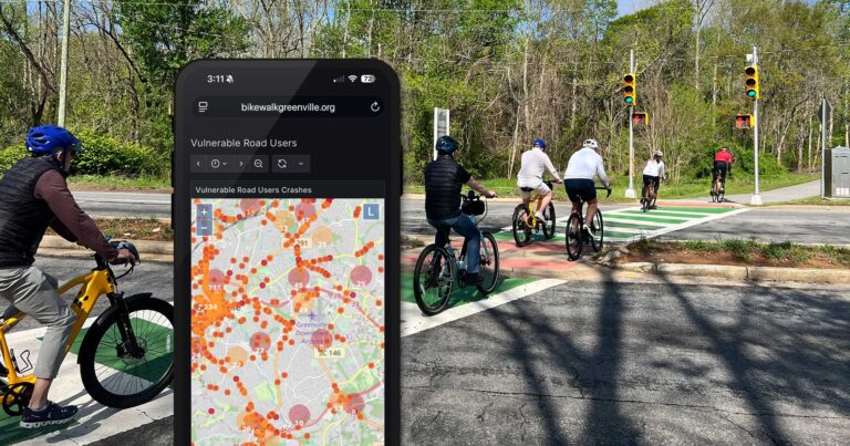
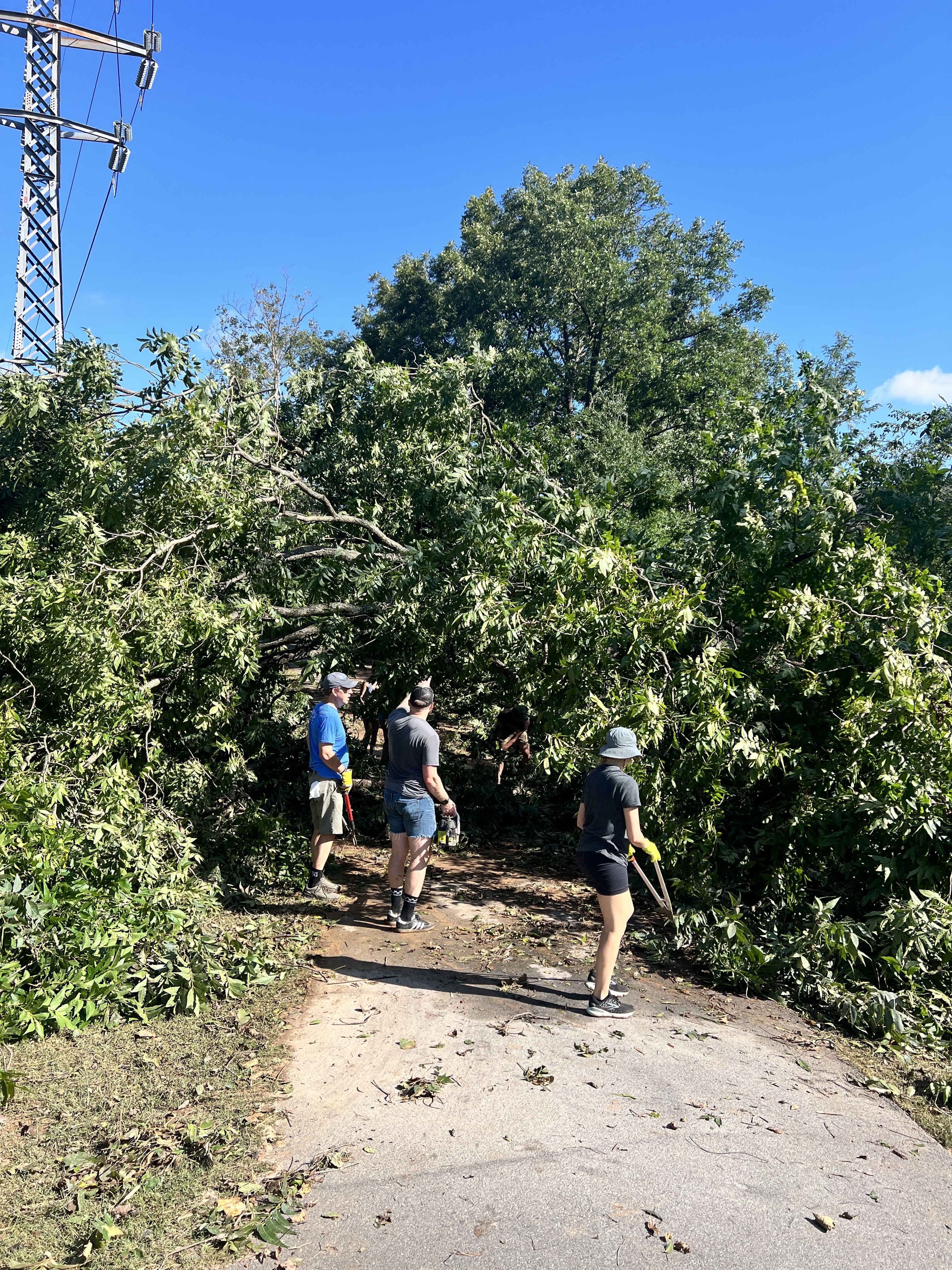
Within a few days, however, it became clear that we could harness our community’s love for the Swamp Rabbit Trail for a much better outcome. With some organizing and the power of social media, we were able to combine our collective efforts with the trail from Verdae to Traveler’s Rest cleared for use in just one week. Since no power lines were involved in this tree clearing work, the County and City graciously accepted the assistance of registered volunteers, on top of their own incredible maintenance crews, to remove hundreds of fallen trees from the Swamp Rabbit Trail, neighborhood trail connections, and connected parks and recreation spaces. Bike Walk Greenville was able to apply our nonprofit infrastructure of community connections, social media reach, Google Drive, and mapping tools to coordinate volunteers and facilitate cleanup efforts in the immediate aftermath of the storm.
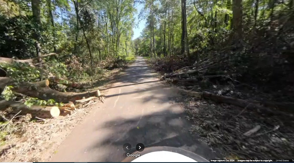
Many of our community heroes relayed to us that they wanted the trail to “look good as new; like nothing ever happened”. While we share that sentiment, we also didn’t want the tremendous efforts put forth by city and county crews, along with nearly a hundred documented volunteers, to be forgotten. Two weeks after the storm, we toured the trail with a visitor from Tucson Arizona who graciously recorded our ride on his Insta 360 camera. The data is being uploaded to Google Maps Street View section by section, and will eventually show the trail from Traveler’s Rest to Verdae as it was after the storm in October of 2024. With the help of community volunteers, we plan to continue updating Google Maps Street View to be able to show more of the history of our infrastructure development, as well as to help with active transportation navigation and route planning for residents and visitors alike.
We are continuing to collaborate with our friends at UGATA and Upstate Sorba on cleanup efforts in local green spaces to make them safe and accessible for the community. We will continue to post cleanup opportunities and training sessions on our community calendar and on our social media as they arise. There is still more to do to rebuild, and always more work to do for safe streets and accessible active transportation networks – we are grateful for your support and shared enthusiasm for making our community a better place to live, work, and play.